Cet article est également disponible en: French
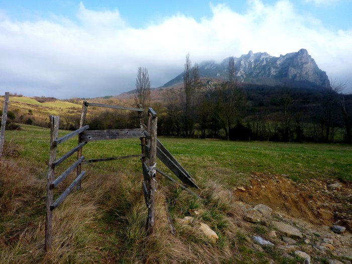
I’ve just been to Bugarach, a village hidden away on the edge of the Corbières. My main reason for going there was to climb the nearby Pech but I also wanted to see if the village had been changed by its newly acquired celebrity. After all, it is the only place which will survive the end of the world on 21 December 2012 (or perhaps the 22nd, or even the 12th…). The date comes from the Mayan calendar: we are coming to the end of a 5126-year cycle. This means that the world as we know it will come to an end.
Bugarach is a mere 30km as the spaceship flies from where I live and, along with nearby Rennes-le-Chateau (think Dan Brown: Da Vinci Code), has long been a local byword for eccentricity. But since 2009 and the release of the disaster movie “2012” the fame of Bugarach has spread. It wasn’t mentioned in the film but somehow hopes of surviving the end of the world have focussed on the community and its 189 inhabitants. It regularly features on TV and in the press. House prices have tripled, we are told, and even at that price they are being snapped up. The mayor, Jean-Pierre Delord, is at his wit’s end according to the Courrier International: “There’s nothing funny about it… I want the army to be here if necessary” What will he do when the apocalyptic sects invade in the days before this winter’s solstice? Will there be mass suicides when it doesn’t happen? How many people hoping to hitch a lift on a passing flying saucer will fall off the cliffs of the Pech? Will it be – for Bugarach – a scaled-down version of the end of the world?
Already the villagers are complaining at the increasingly frequent ambulance sirens. The publicity has attracted more walkers – including me – and inevitably some fall on the steep slopes leading to the top of the mountain (1230m).
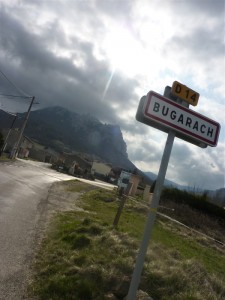
So when I walk through the village on the way to the summit with Claude from my walking club, I keep my eyes peeled for signs of change since I was last here ten years ago. The magnificent – but dilapidated – maison de maître which was for sale then is still looking for a buyer. The village notice board makes no mention of impending disaster (not the end of the world but the sudden influx of crazies). The bar didn’t even manage to make it to the end of the world: the notice board outside is still wishing passers-by “Bonne année 2012 (Happy New Year 2012) at the end of March.
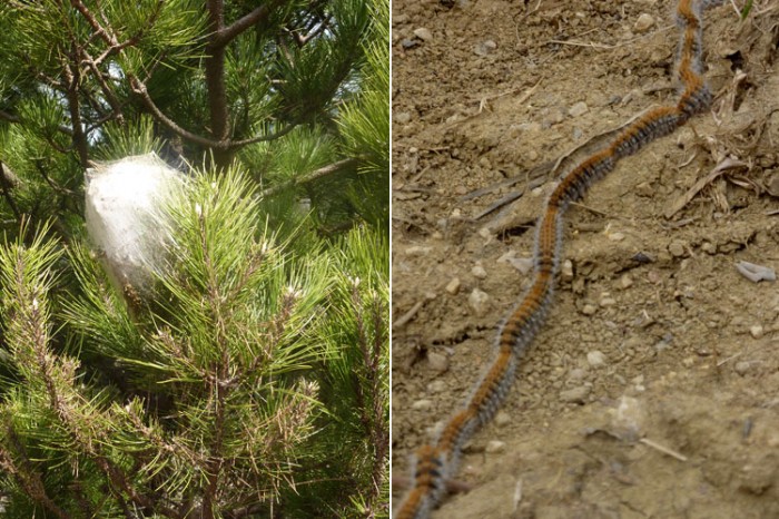
The only clear sign of forthcoming disaster is a line of pine processionary caterpillars. They have deserted their nest and are heading determinedly in the direction of the village. (They are clearly a warning sign. Pine processionary caterpillars are progressing along the Pyrenees, destroying swathes of woodland in their wake.)
There is one other indication that something odd is going on. At the very summit of the Pech is a fired-clay statuette: a Chinese warrior modelled, I think, on those dug up in Xi’an.
Even so, for the moment, Bugarach is pretty much like it always has been. A little bit eccentric in both senses of the word. What I would like to know is who spread the rumour that Bugarach would survive, and why?
Le Pech de Bugarach via the fenêtre
940m of climbing, 13,6km: GPS file (format .gpx) – Google Earth track (format .kmz)
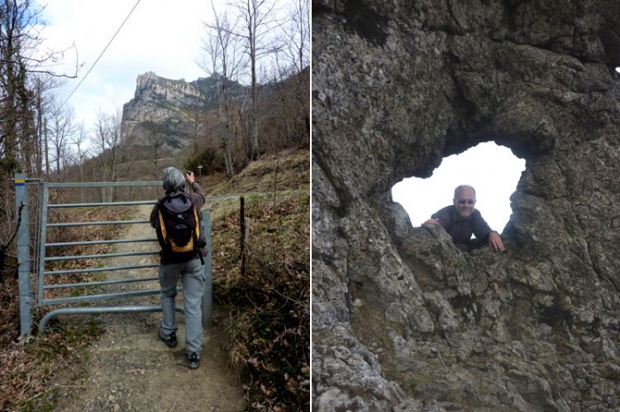
On to the hike. This is the classic route – but not the easiest – to the summit passing by the fenêtre (window). (13,6km, 900m climbing, some scrambling just below the fenêtre)
From the village we headed south along the Sentier Cathare passing above the reservoir. After 2.5km a sign indicates a diversion to see the Cascade des Matheiux. A short distance afterwards the path (now GR36) starts to climb, progressively steeper until you reach the rocks. Hands are useful here, though it’s no more difficult than climbing an uneven staircase.
At the summit the main danger is being blown away. The classic return path goes via the Linas, to the north. A more exciting varaint is to head south-east – there is a short rappel and another vertical edge to negotiate.








Footprints on the mountains