

The Cortelets hostel webcam is now working and will be online until mid-Octobre.

The webcam is aimed at the summit (2784m). Screenshot, 26 mai 2018
There seems to be a lot of snow on the ridge leading to the summit.
The Cortelets hostel webcam is now working and will be online until mid-Octobre.
The webcam is aimed at the summit (2784m). Screenshot, 26 mai 2018
There seems to be a lot of snow on the ridge leading to the summit.

Canigó summit: often crowded
The authorities are considering limiting access to Catalonia’s favourite mountain. This has practical implications (details below) but it also heralds the start of a new chapter in the way we perceive Canigó and the Pyrenees in general.
Initially remote, wild and dangerous, Canigó has become a Catalan emblem – frequently nicknamed la montagne sacrée [sacred mountain] des Catalans. It has been exploited for minerals and wood, and narrowly escaped some of the worst ravages of mass tourism. Now it seems to be heading for a quieter life.

Canigou as seen from above Ria, where I was walking today. The snow on the western face is clearly visible, as is the ridge which runs from the Porteille to the summit.
Information from the Facebook page of the Cortalets Refuge updated by Thomas Dulac, the manager of the refuge, who climbed up to the summit today Sunday 21 May 2017.
From the Cortalets, no snow until you get to the fontaine de la Perdrix but the west side of the peak (Vernet) is covered in snow. It is possible to climb the ridge which goes directly from the Porteille to the summit (easy rock climbing) with classic mountain walking boots.
It is also appears to be possible to climb to the summit from the Cortalets via the Barbet, Porteille de Valmanya and the Cheminée, without crampons (not checked).
From Mariailles, no need for crampons (no snow on the Cheminéee).
Diversion of the GR 10 west of Superbagnères
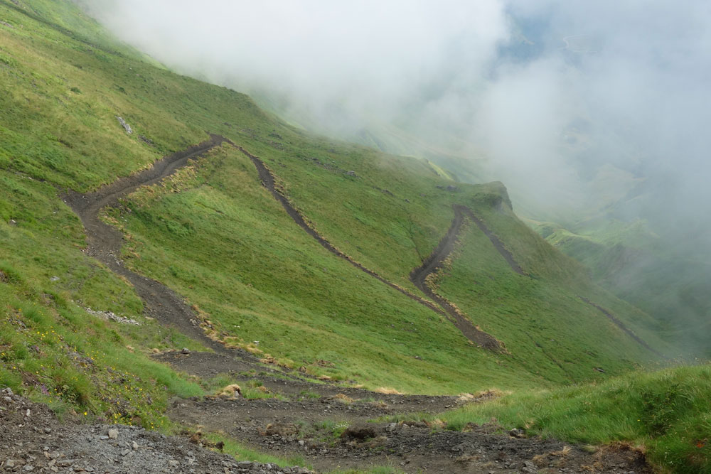
Coming back home for a rest from the exertions of the Pyrenean Haute Route (HRP), via a leg of the GR10, I got lost. Despite a big, clearly labelled arrow, I walked round in a circle. From the Col de la Coume de Bourg (2271m) to Superbagnères, instead of skirting along the hillside, the route now drops into the valley and then climbs out again on a freshly-made path.
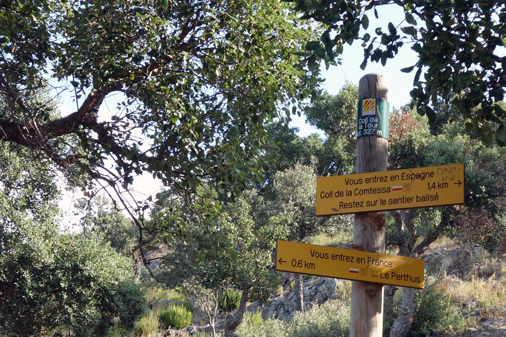
Diversion of the GR 10 east of Le Perthus
A rather older diversion further east is also worth noting. Immediately after passing under the motorway at Le Perthus the GR 10 now climbs back into the forest (passing absent-mindedly into Spain) before re-joining St-Martin-d’Albère. A great improvement: previously it followed the road for many kilometres.
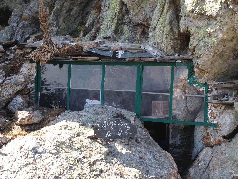
Refuge Tomy
After many years of wondering who he was, I have finally met Maurice, on my last day walking the Pyrenean Haute Route. I had slept the previous night in ‘his’ Refuge Tomy and was slowly descending to Banyuls when I bumped into a man wearing a red bonnet climbing up, carrying an empty container. It must be him!

Tomy
There were no grapes to be harvested, he told me, so he was on his way to take water up to the shelter close to the summit of the Pic de Sallfort. What dedication!
The shelter is named after his poodle Tomy, who was also a runner. He used to follow his master up the slopes but he aged more quickly than Maurice so he was left to rest under an overhanging rock. This led Maurice to think of making a shelter for hikers as well. He started work in 2003 or thereabouts.
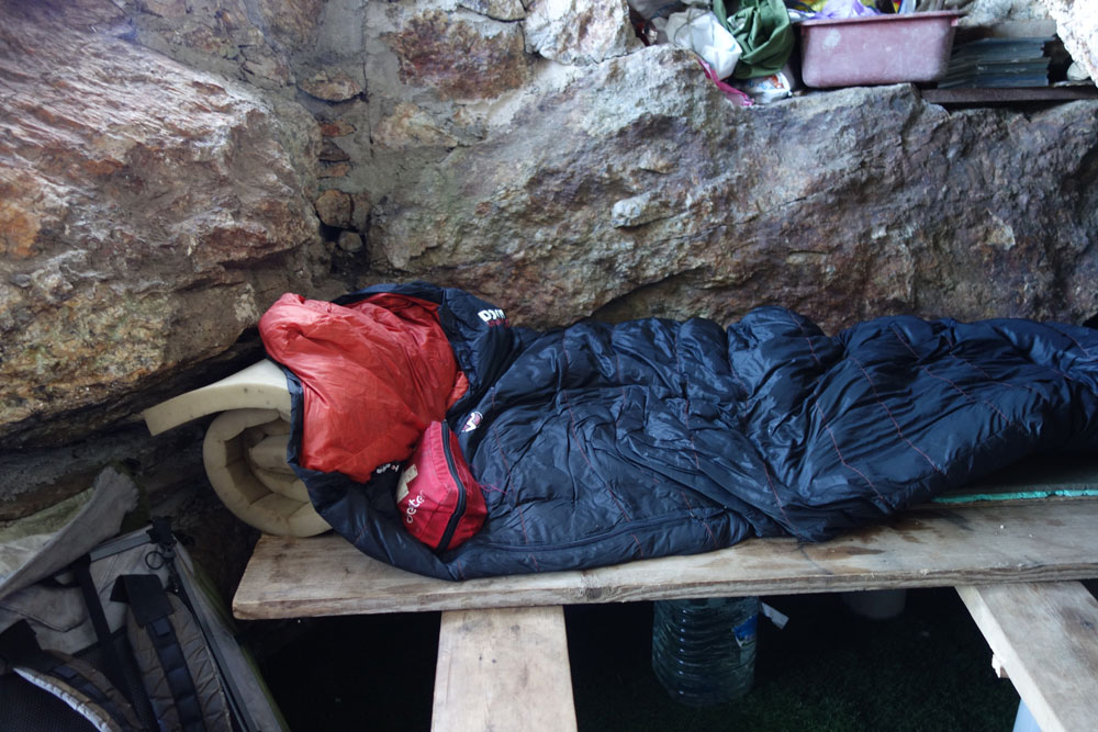
My sleeping bag on the bench
Miniscule is the word for it. From the outside it looks like a little greenhouse, half hidden 100m NW of the point where the GR10 drops over the ridge. Inside there is everything a walker could need: benches which convert into a bed for three, mattresses, a gas stove, pans, and most importantly containers full of water. The nearest water is 20 minutes’ walk away. Maurice brings it up from the spring at least once a week in summer. He has had it analysed; it is drinkable.
We talk about the other springs at this end of the GR10, about walking, and I learn about Maurice’s friend François Grand who helped him build the shelter. But it is only when I arrive home that I discover I have been talking to a Pyrenean legend. Maurice Parxes has competed in the Course du Canigou 34 times. This year he yomped through the 34 km and 2180m ascent in 5h47. He is 74!

The François Grand spring, named after a friend.
A note on the spring. The first time I saw it I thought it was almost dry but I had misunderstood how it works. The spring is only a trickle at the best of times. So Maurice has installed a cistern with a tap low down on the right (not easy to see). The overflow drips at the same rate that the water arrives, but there is always a supply of water.
It seems to me that selling direct to the consumer, which has developed enormously in Britain in the last few years, has yet to have a significant impact in the Pyrenees. But there are changes to be seen.

If the cows won’t go to the milking shed then the shed will have to go to them
I came across this mobile milking shed near the Col de Pause in Ariège. The farmer explained that, as the season advances, the cows move higher up the hill in search of fresh grass. Instead of bringing them all the way down to the farm for milking, he moves the milking shed progressively higher.

Paths linking the GR10 and GR11
In case of bad weather, for variety, to see if the grass is greener on the other side… the passes over the Pyrenees provide many opportunities for those who are looking for something different. See my page on Crossing the Pyrenees on laSenda.net.
Pic de Crabère is steep but not dangerous. Just off the Pyrenean Way (GR10), it can be reached in a day, but most walkers stay in the Araing hostel overnight and tackle the final 700m of climbing in the cool of the next morning.
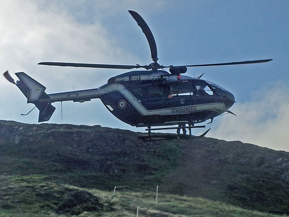
Thankfully, serious accidents don’t happen often.
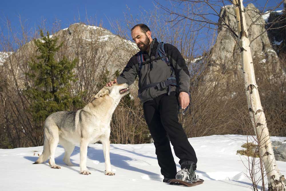
What are the restrictions on dog walking in the Pyrenees?
In general there are few restrictions on dog walking in the Pyrenees, except in National Parks, Natural Parks and Reserves (see below for details). In some of these areas dogs must be kept on a lead; in others they are prohibited. Even when there are no specific rules, dog owners need to be aware that stray dogs are the second most important cause of death for sheep in the Pyrenees (after sickness). A shepherd has the right to kill any dog which menaces his flock.
The only dogs which are allowed to roam freely are the patous, specially trained sheep guard dogs. If your dog approaches a flock guarded by a patou it will attack.

Patous are the only dogs which can be left alone with sheep
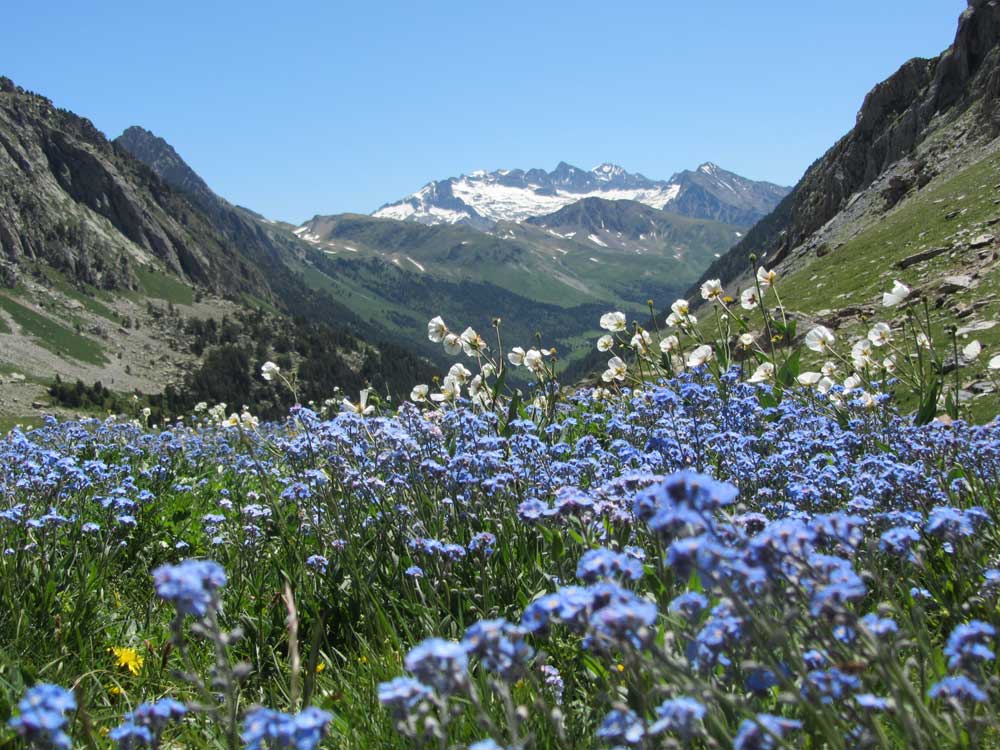
GR11: flowering pastures above Estos; in the background the Maladeta massifmassif de la Maladeta
I’ve now walked the Pyrenees from the Atlantic to the Mediterranean twice. First on the north side, then on the south. Having written about the first trek (If You Only Walk Long Enough: Exploring the Pyrenees), I’m trying to put my thoughts together for my book on the southern option, the GR 11. [Update 2016. Book now published as Footprints on the Mountains: The News from the Pyrenees]
So what are the differences for a walker between the GR10 and the GR11?
Google translate
Search
In Catalan: Els Pirineus Indòmits. Una Renaturalització Sorprent

Rewilding with bears and wolves

The Spanish Pyrenees and walking the Senda (GR11)

GR10 : Éditions françaises

Les Pyrénées tout en marchant sur le GR10 de Steve Cracknell
(16cm x 24cm, 319 pages, 30 photos, carte)
Disponible chez Amazon
GR10: English editions:

If you only walk long enough - exploring the Pyrenees

[print and Kindle]

site designed by Archétype Informatique: création de site internet, Narbonne