

Cet article est également disponible en: French
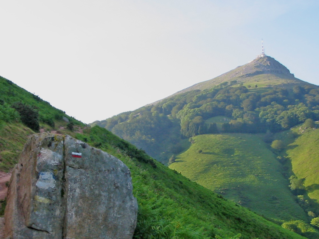
A red-and-white waymark like this indicates that you are heading in the right direction. Photo taken on the French GR10, the Pyrenean Way, near to la Rhune
The first explanation I heard was that the waymarks are based on symbols used on the Way of Saint James. The pilgrims used chalk for the white upper stripe and blood for the red lower one. In their minds this symbolised the clouds above – the heaven at the end of the pilgrimage – and the bloody feet – the suffering – involved in getting there.
I recently read a book which tells a different tale. According to Antoine de Baecque the waymarks were invented in 1946. Jean Loiseau, the ‘father’ of the French GR network was influenced by the red used by foresters to delineate areas of woodland, adding the white to make them more visible at night.
I prefer the blood and chalk version. It’s nearer to the truth.
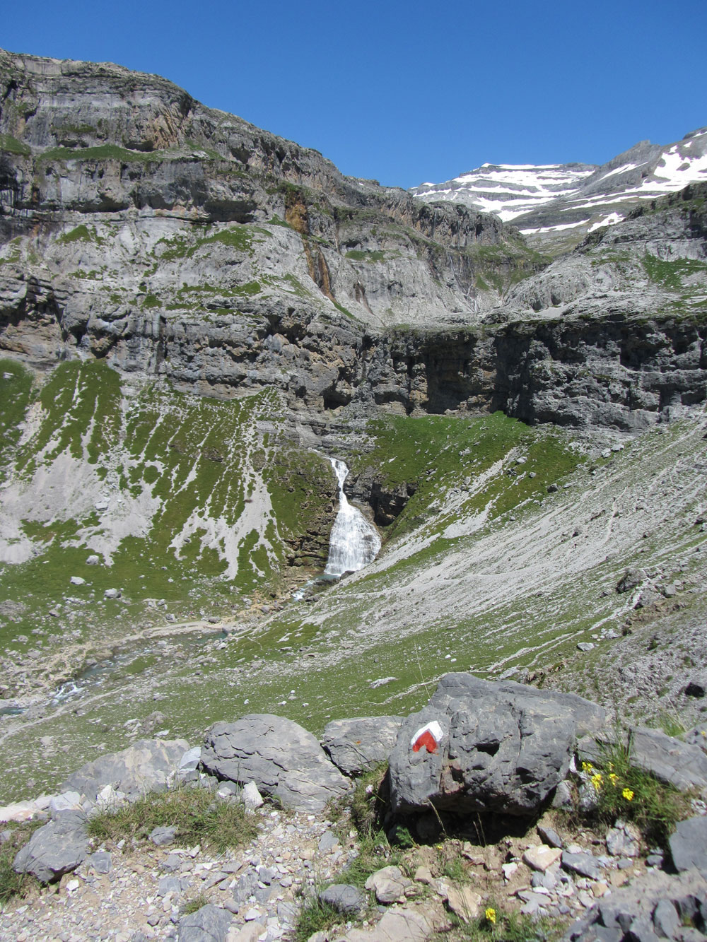
Turn here. Photo taken near to the Cola de Caballo waterfall at the head of the Ordesa valley on the Spanish GR11, the Senda Pirenaica

Turn right. Photo taken above Núria at the Coll de Noucreus. The nine crosses are said to represent shepherds killed by lightning. The stone is the 510th boundary marker between France and Spain counting from the Atlantic. There were originally 602 in total but a few more have been added over the years on disputed sections.

Not this way. A cross, normally about 5m after a junction or turning, indicates that you are going the wrong way. Photo taken on the Spanish GR11 a few minutes away from the end at the Cap de Creus.
Source: La traversée des Alpes, Antoine de Baecque, Gallimard 2014, p 138.


Footprints on the mountains