Cet article est également disponible en: French
Like the cities, the Pyrenees have been invaded by technology, of which the mobile phone is the most important element. In the valleys; above 2200m, except near ski resorts, forget it.
Clinometer for Android phones
Next on my list is the GPS. Not only for walkers, but also for animals. From time to time one of the thirty or so brown bears will be equipped with a transmitter to see what it is up to. The same applies to goats. If they move less than 200m in an hour they are resting; 200-1000m means they are grazing; more than 1000m and you need to get out there and round them up. Much the same applies for dogs which don’t come home after the hunt. A good hunting dog is worth tracking down.
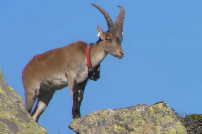
Any self-respecting ibex will have a GPS necklace which will enable the support team to locate it. Many are also equipped with radio transmitters.

Ibex in Ariège, with a high-tech necklace © Jordi Estèbe, Parc naturel régional des Pyrénées Ariégeoises


Footprints on the mountains