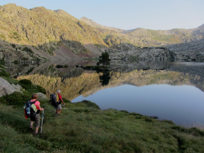
Romedo de Dalt on the new chemin des Montagnes de Liberté
Seen from a distance, the Pyrenees are timeless, an archetype of what mountains should be. But I recognise how much my personal travelogue is full of romantic clichés. So I’ve been thinking about the reality: the ‘news from the mountains’. This is the second in a series of close-ups on how the Pyrenees are changing.
Putting aside the TGV high-speed train (2013) and the THT high tension electricity cable (2015), thankfully both underground, what is the other news?
Way of St James
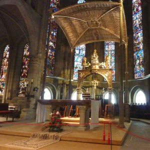
Church in Orreaga/Roncevaux
The Way is no longer a just a long-distance walk; it has become a social phenomenon. Since the turn of the century the number of walkers crossing the Pyrenees on the Way has increased more than five-fold. This leg of the walk, from St-Jean-Pied-de-Port (France) to Orreaga/Roncevaux (Spain) is reputed to be one of the hardest of the trek. In 1999, 9,318 walkers had their credencial (pilgrim passport) stamped in the French office before setting off. Fifteen years later they were 53,972. [Statistics] If that figure doesn’t surprise you, consider this one: in 1978 only 13 pilgrims crossed the threshold of the cathedral in Santiago. [Historical statistics] Nobody in St-Jean-Pied-de-Port was even bothering to count.
Passing through the town once, I asked a man in the office why so many more people had taken it into their heads to walk the 800km. It isn’t that people have become more religious, he replied. It is partly the inclusion of the Way on the World Heritage List (1993), partly the shorter working week in France (2000), and partly a snowball effect: more walkers means more hostels, means shorter days, bringing in even more walkers. (more…)